


 Back
Back

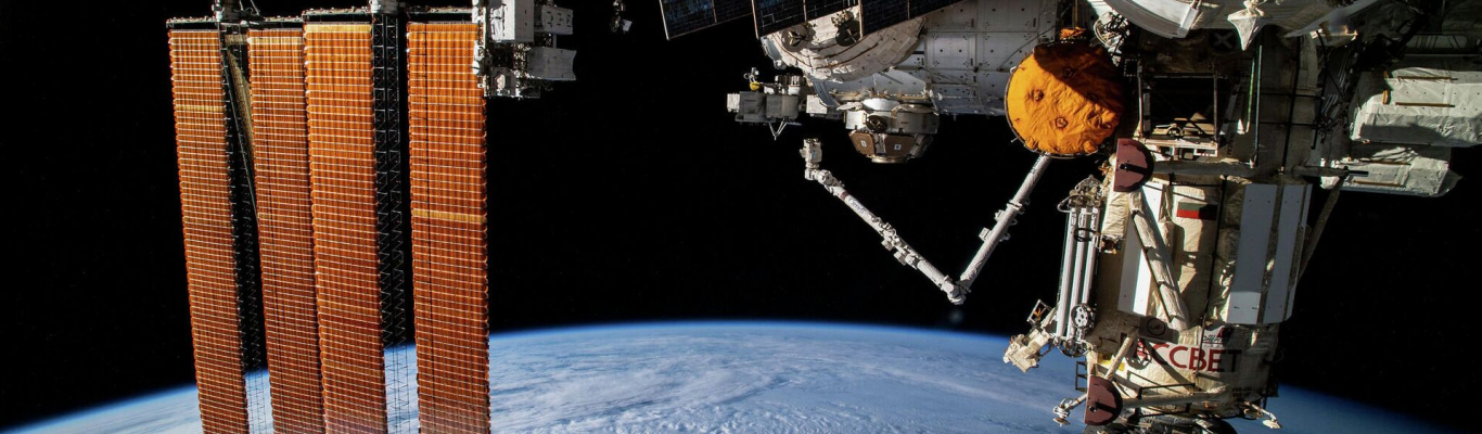
Belarusian satellite captured more than third of earth's surface
For ten years, the Belarusian spacecraft has taken images of 180 million square kilometers, which is more than a third of the Earth's surface, BELTA writes.
The data from the Belarusian satellite, as well as the Russian Canopus-V satellites and 9 other international weather satellites are received by the department in the National Academy of Sciences of Belarus. It is the national operator of the Belarusian Space System for Remote Sensing of the Earth. The Belarusian spacecraft was launched on July 22, 2012.
Follow us on Facebook, LinkedIn!
Photo: sputnik.by